The hardware and bandwidth for this mirror is donated by dogado GmbH, the Webhosting and Full Service-Cloud Provider. Check out our Wordpress Tutorial.
If you wish to report a bug, or if you are interested in having us mirror your free-software or open-source project, please feel free to contact us at mirror[@]dogado.de.
![]()
![]()
The goal of gwavr (Gee-waver) is to Get Water Attributes Visually in R (gwavr). This allows the user to point and click on areas within the United States and get back hydrological data, e.g. flowlines, catchments, basin boundaries, comids, etc. Most of the heavy lifting is done by the {nhdplusTools} (much thanks) as well as the {leaflet} extensions and all this package does is wrap them into a app. Enjoy!
You can install gwavr from CRAN:
install.packages('gwavr')To install the development version of the gwavr package,
you can install directly from GitHub:
# install.packages("devtools")
devtools::install_github("joshualerickson/gwavr")
Contributions are welcome!
There are a handful of functions right now that can help with getting
water data visually: get_nhdplus_interactively(),
get_nldi_interactively(),
get_basin_interactively(),
get_streamnetwork_interactively(),
get_usgs_iv_interactively(),
get_usgs_dv_interactively(),
get_noaatlas_interactively(). Please read the manual for
more information on how to use these functions.
This is a basic example which shows you how to solve a common problem: getting water data without knowing the exact lat, lon via a shiny application.
library(gwavr)
## basic example code

nhdplus_data <- get_nhdplus_interactively()

## or for NLDI

nldi_data <- get_nldi_interactively()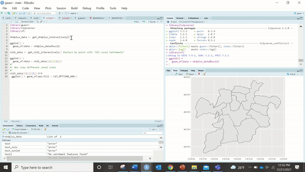
These binaries (installable software) and packages are in development.
They may not be fully stable and should be used with caution. We make no claims about them.
Health stats visible at Monitor.